Gridding
The "gridding" method is an attempt to overcome the arbitrariness and irregularity of an administrative division by dividing the territory into regular units.
The cells thus created are assigned the value of the variable observed for the intersecting entities, in proportion to the surface areas concerned.
This method highlights the main trends in the spatial distribution of a phenomenon.
Parameters
The following parameters are available:
- The variable to be represented,
- The type of cell (square, triangle, hexagon, diamond),
- The size of the cell,
- The name of the new layer.
After creating the new layer, you can adjust the representation parameters (color palette, transparency, etc.).
Example
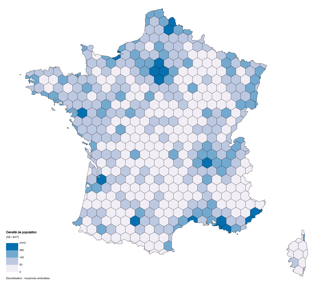 Gridding (hexagons - variable 'POPULATION' - French municipalities dataset)