Labels
Labels are used to add textual information to the map. They are positioned automatically (at the center of the geometry concerned), but this position can be adjusted manually for each label.
Parameters
When creating a layer of this type, the following parameters must be entered:
- The variable to be used for label text,
- The desire to filter labels (for example, to display labels only for entities whose variable value is above a certain threshold),
- The wish to make the size of labels proportional to the value of a variable.
Once the labels have been created, it is possible to modify various parameters relating to font, color, alignment, etc. (for all labels or manually for each label).
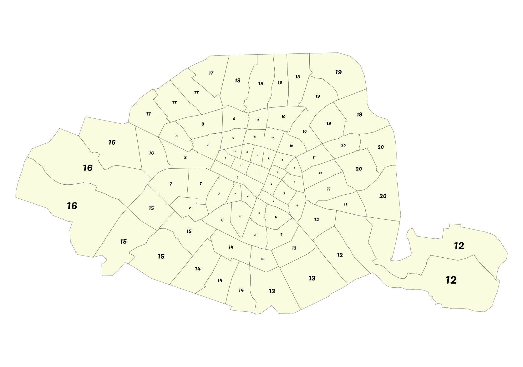 Labels (proportional to the 'area' variable) - in this case, the district to which the neighborhood belongs