Layer properties
It is possible to modify the display parameters of each geographic data layer added to the application.
To do this, simply click on the gear-shaped button to the right of each layer in the layer manager.
The resulting window depends on the type of layer representation (proportional symbols, choropleth maps, etc.).
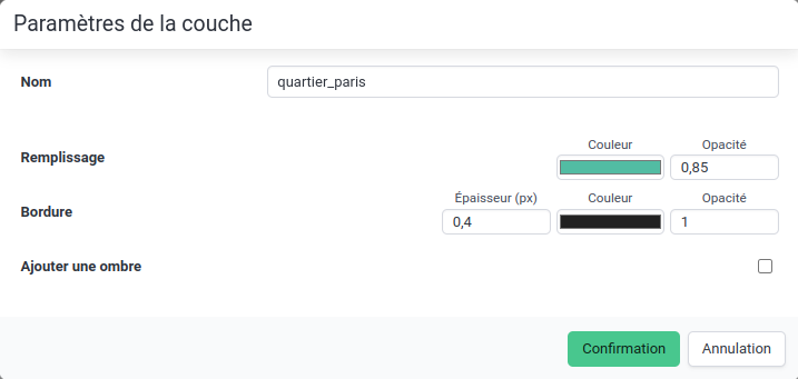 Layer parameters (default representation)
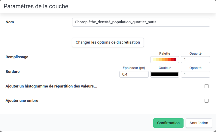 Layer parameters (choropleth representation)