Presentation and application philosophy
Magrit is a thematic cartography application designed primarily for learning and teaching cartography. but can also be used by any user wishing to create thematic maps (journalism, research, etc.).
Magrit lets you create customized maps with your own data, and share them online. The application is designed to be easy to use, while offering advanced features for experienced users.
Magrit is open-source software (available under GPL 3.0 license), free of charge, with no advertising or collection of personal information. It is developed by a CNRS/Université Paris Cité research laboratory, using the lab's own funds.
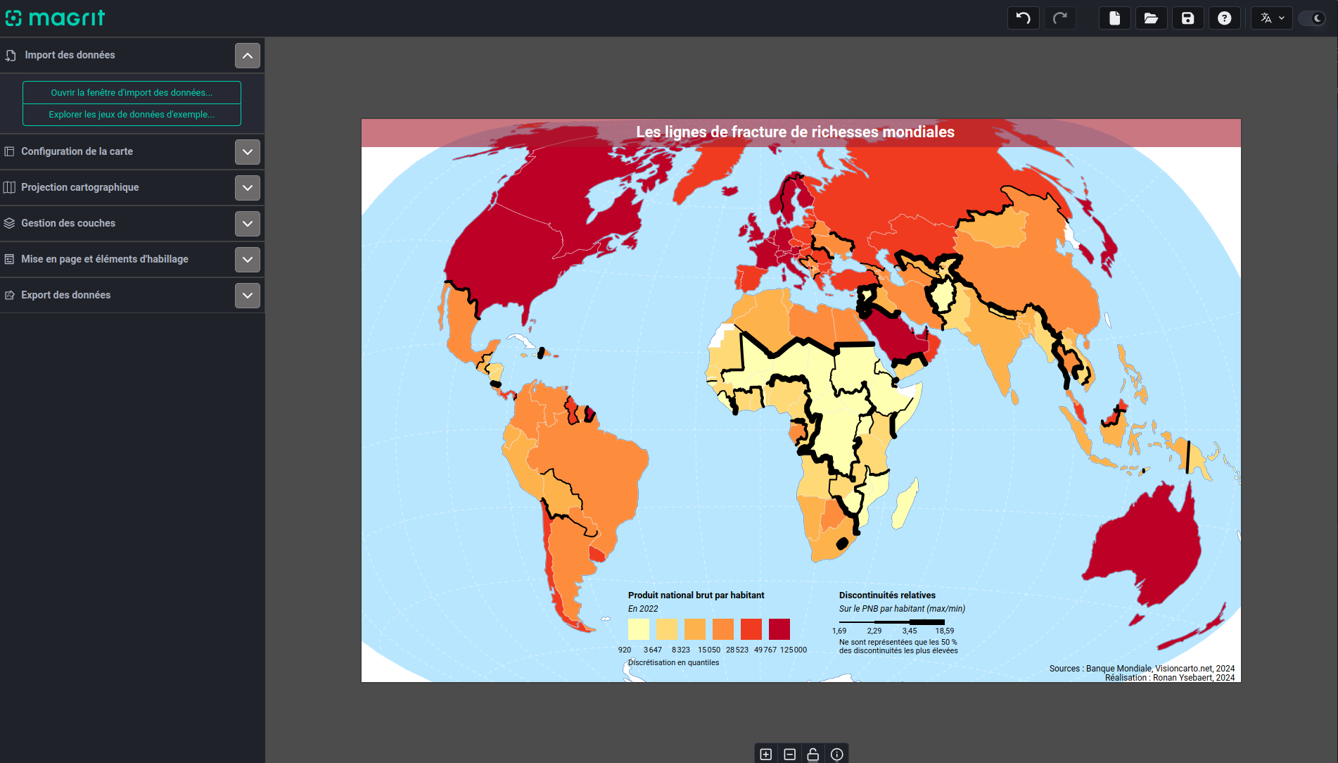 Magrit application interface
Dedicated to learning and teaching cartography
Magrit aims to differentiate between cartographic and geomatic operations, enabling non-geomatics specialists and non-geographers to create maps.
Its interface is designed to follow the main stages in the creation of a map. The interface is also designed to be unobtrusive, while providing strong user guidance.
The prevailing idea is to offer little opportunity for novice users to make mistakes, without encumbering experienced users. Magrit therefore allows you to apply your graphic semiology and cartography courses to produce high-quality, finalized maps.
Magrit is not GIS software
Magrit is not a GIS (Geographic Information System) program, but a thematic cartography software. It does, however, include a number of functions for manipulating geographic data, primarily (attribute selection, data joins, etc.).
Main features of the application
The classic thematic representations are proposed, using visual "order" variables as well as visual "differentiation" variables and visual "proportionality" variables, in order to offer several map combinations.
More original representations are also proposed. In contrast to the previous representations, these call on sometimes complex calculations to represent the data supplied by the user (gridding, smoothing, cartograms).